SHOMAL


MAZANDARAN PROVINCE HISTORY
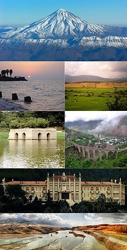
Māzandarān Province
استان مازندران
Province
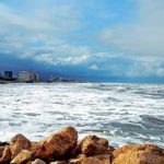
(Persian: استان مازندران Ostān-e Māzandarān/Ostâne Mâzandarân), is an Iranian province located along the southern coast of the Caspian Sea and in the adjacent Central Alborz mountain range, in central-northern Iran.
Introduction
Mazandaran Province is one of the most densely populated provinces in Iran and has diverse natural resources, notably large reservoirs of oil and natural gas. The province’s four largest counties are Sari, Amol, Nur, and Tonekabon. It was founded in 1937.
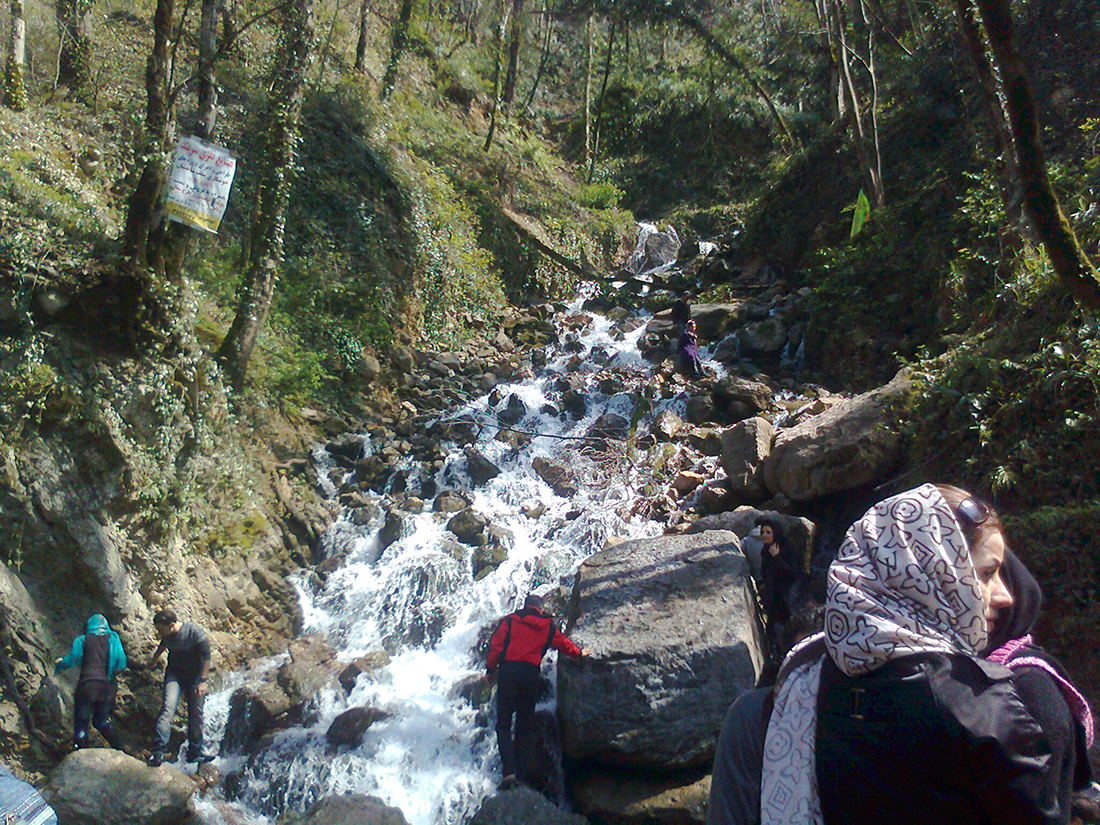
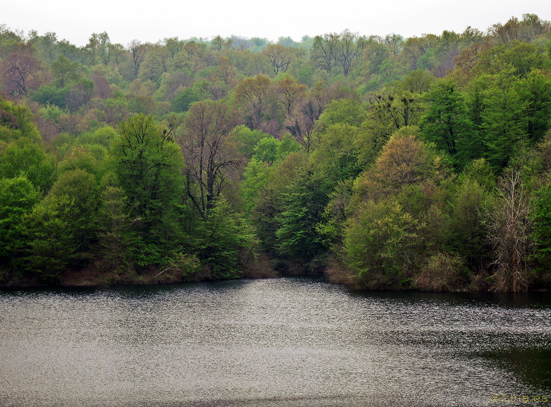
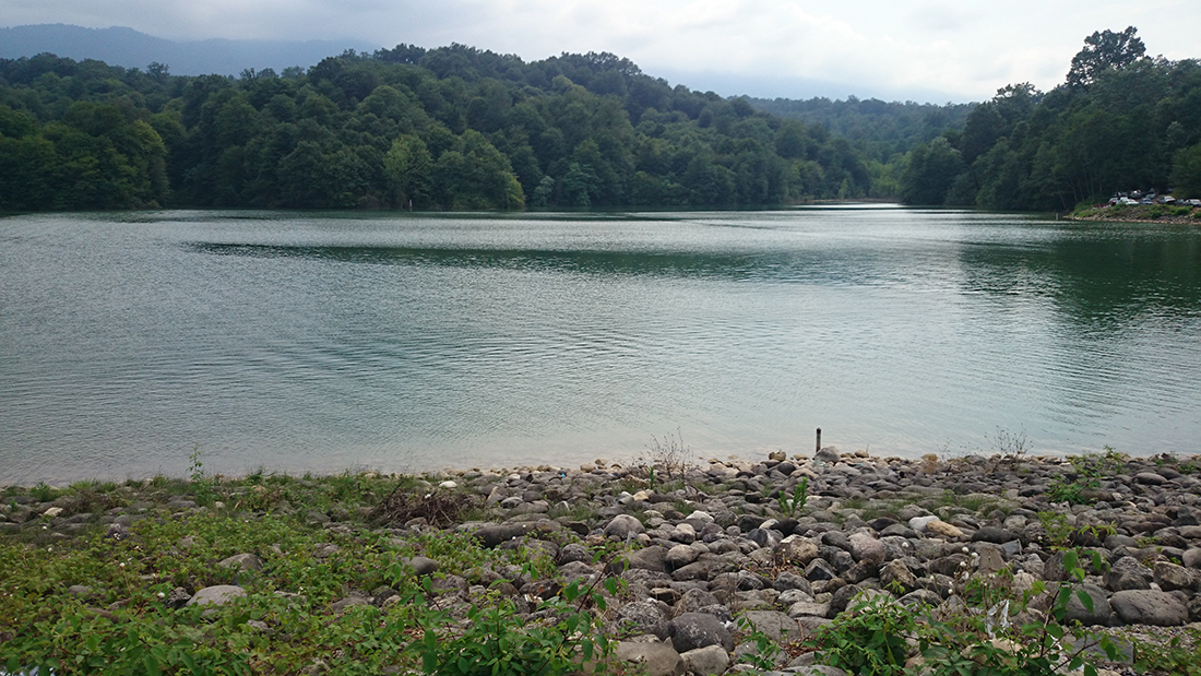
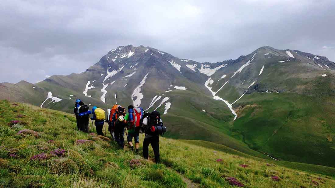
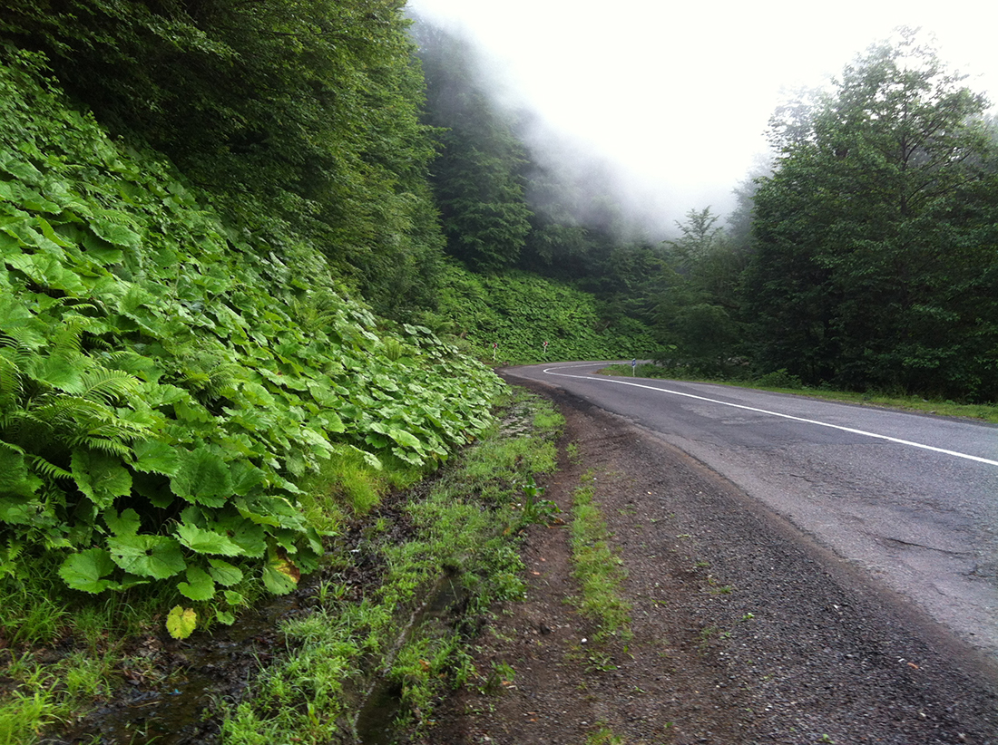
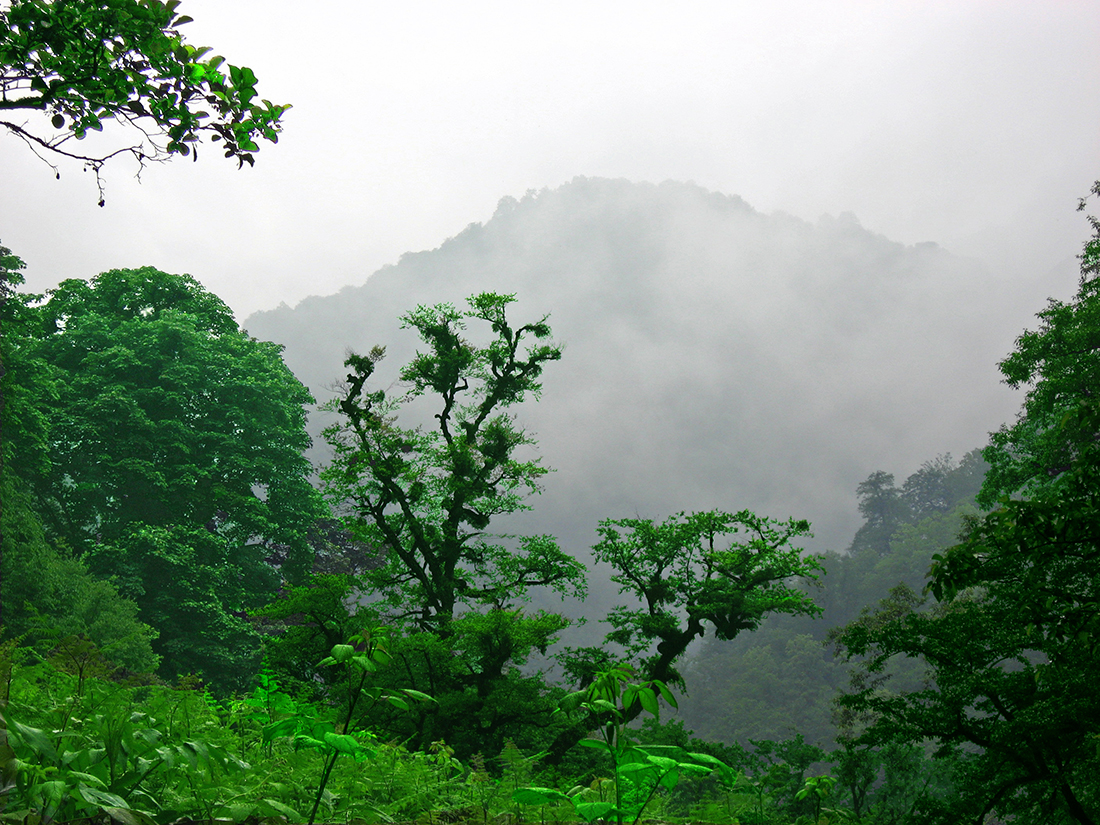
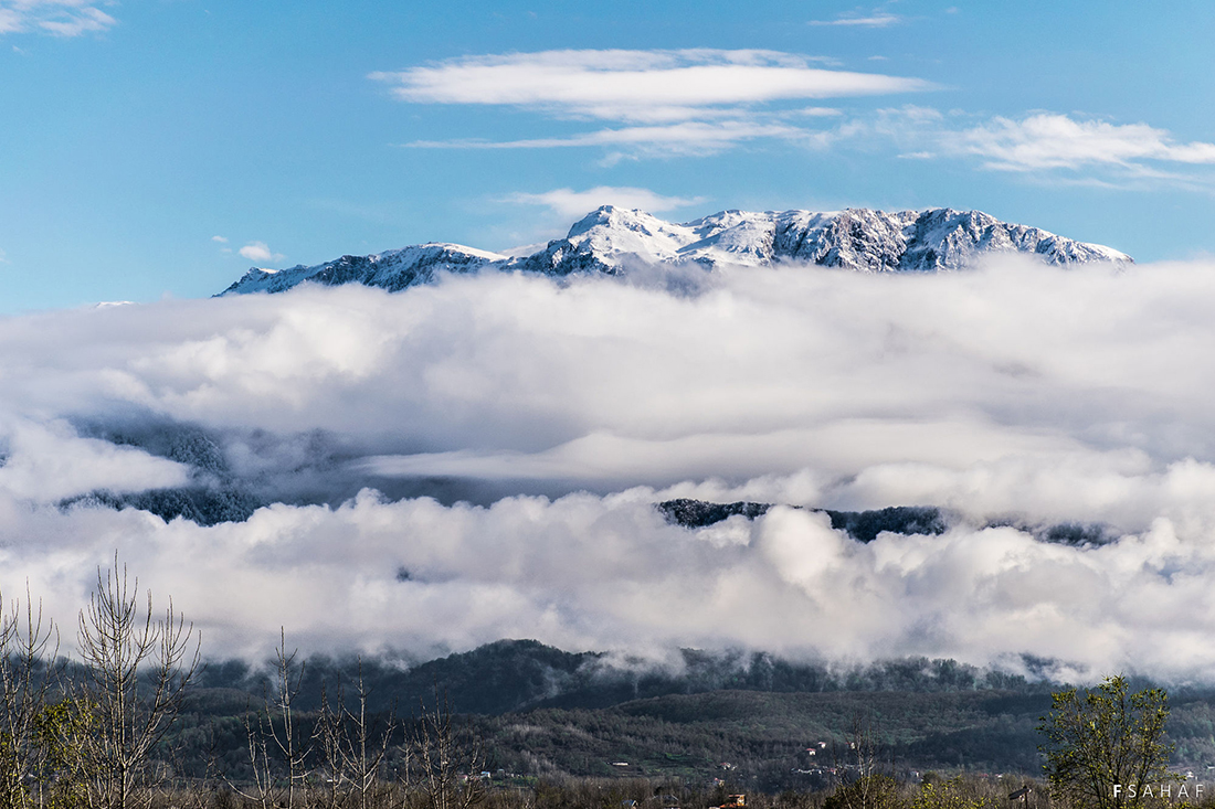
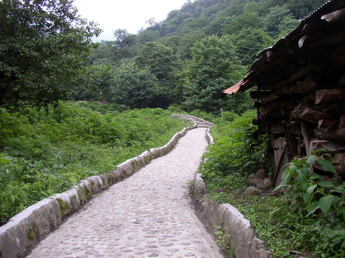
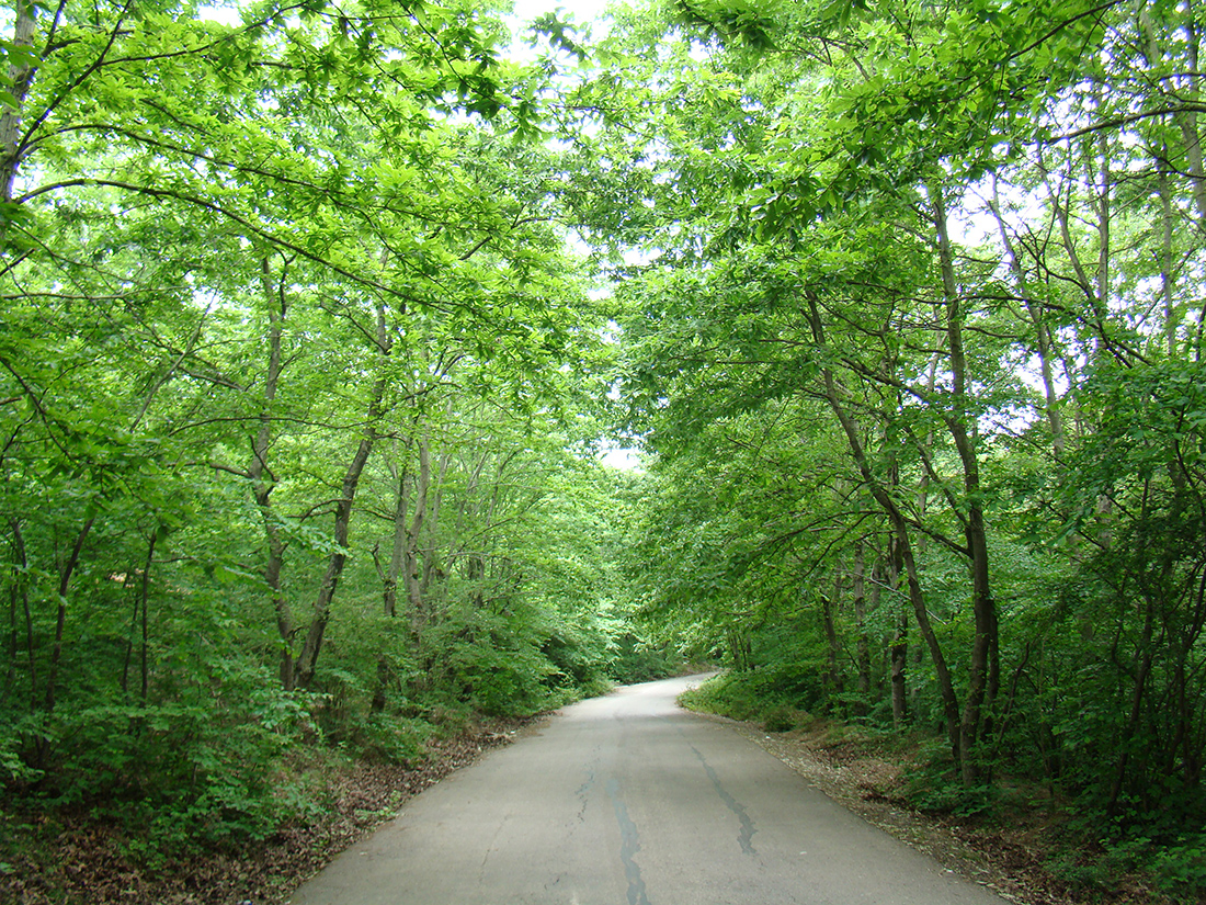
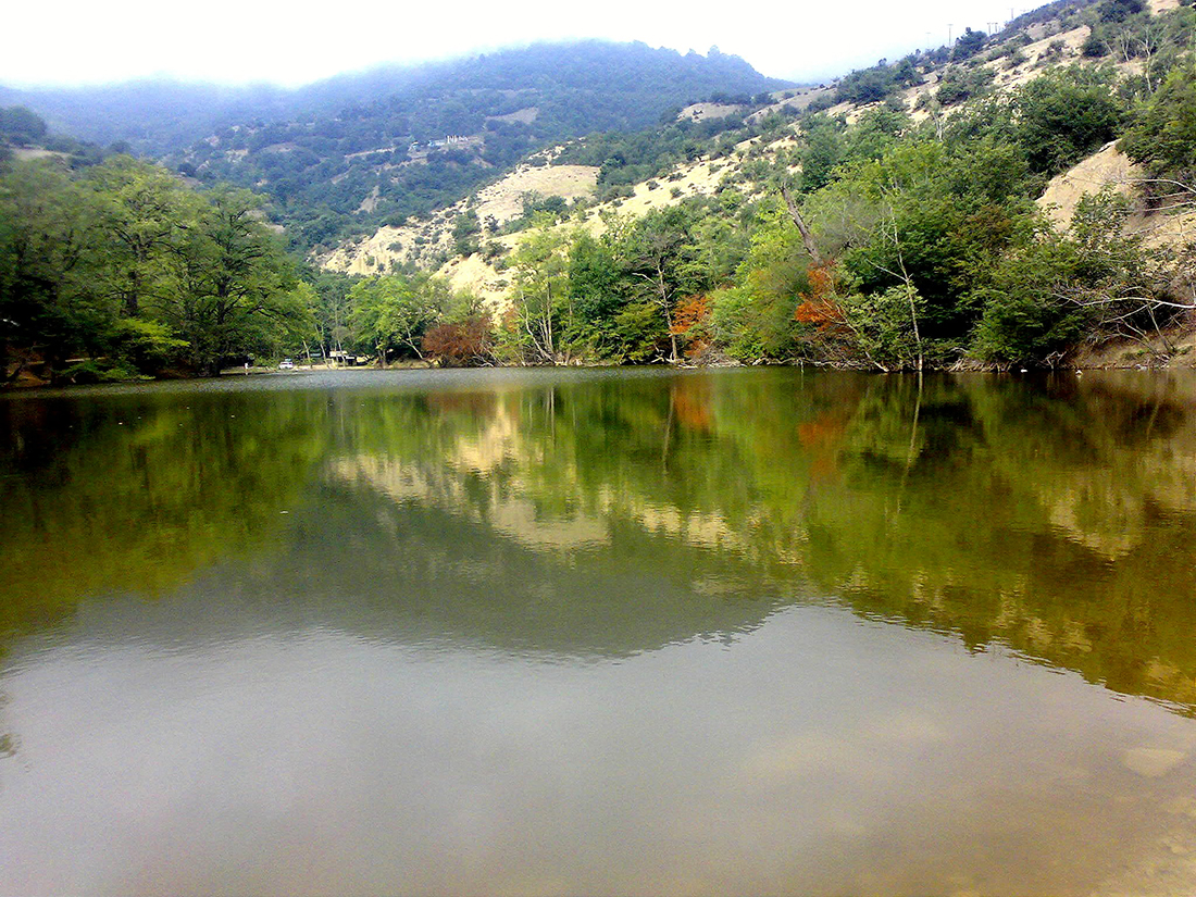
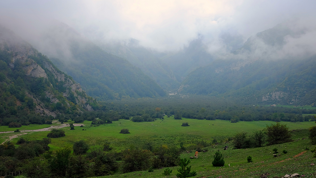
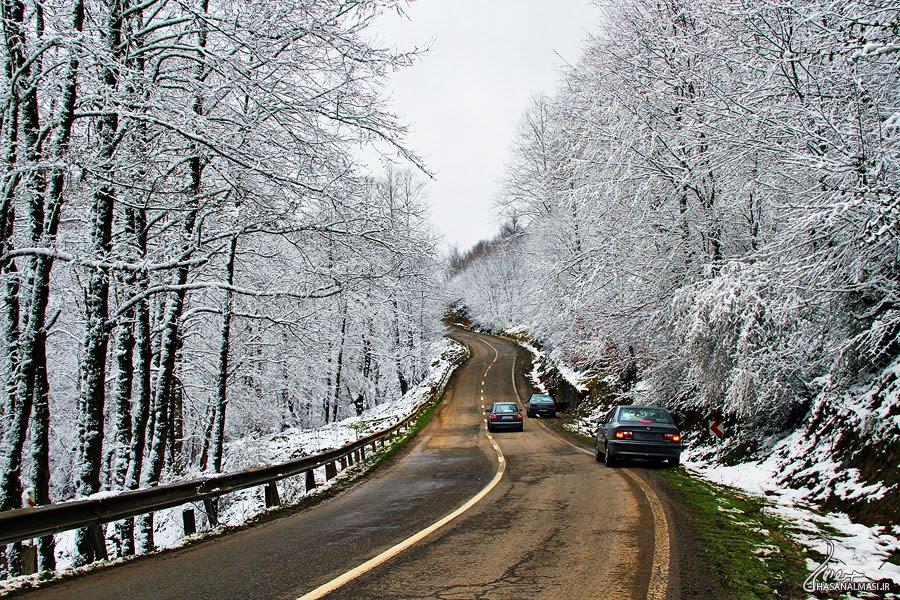
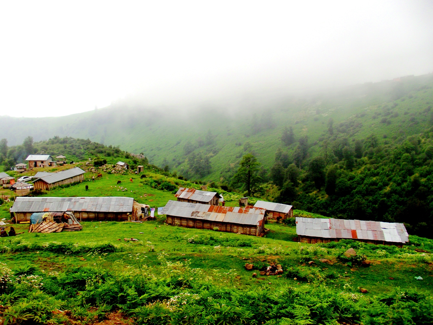
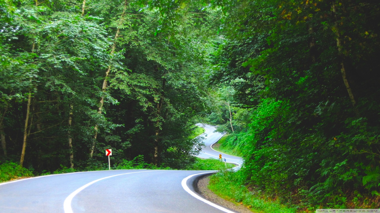
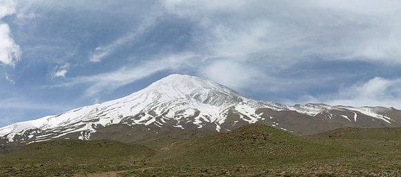
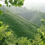
The diverse nature of the province features plains, prairies, forests and rainforest stretching from the sandy beaches of the Caspian Sea to the rugged and snowcapped Alborz sierra, including Mount Damavand, one of the highest peaks and volcanos in Asia.
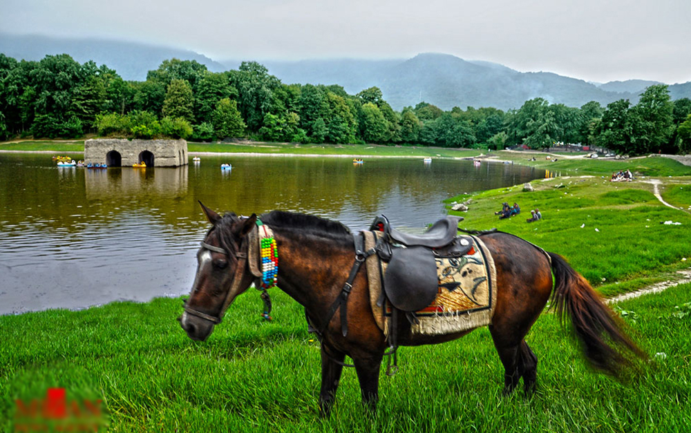
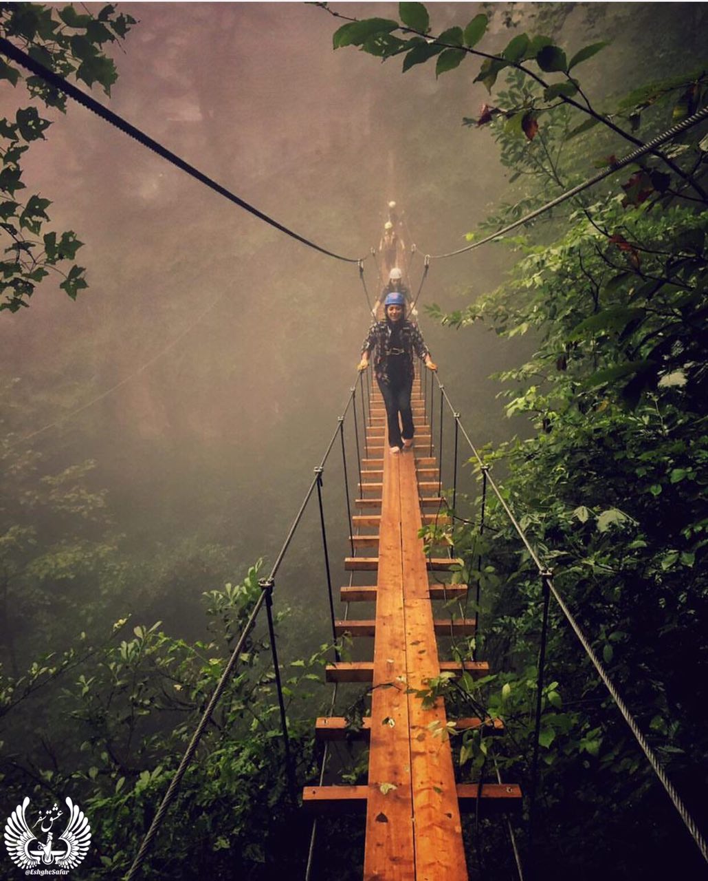
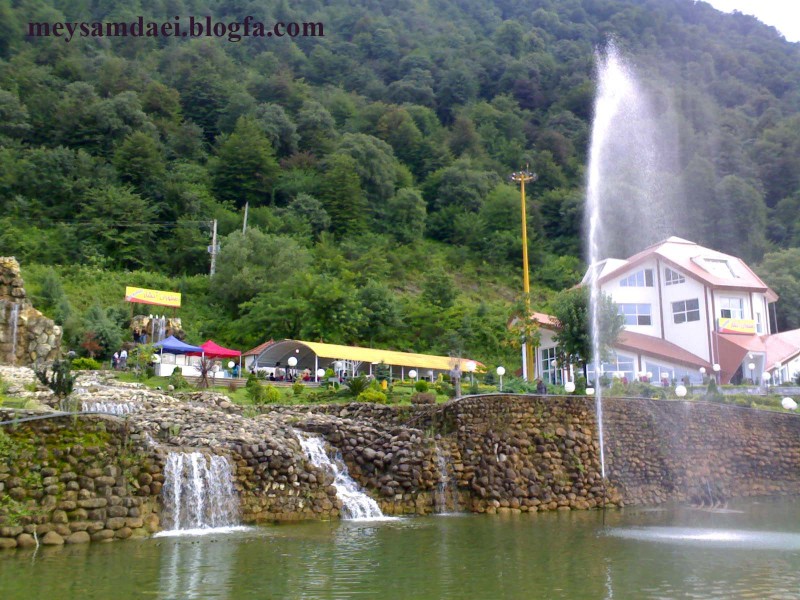
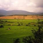
Mazandaran is a major producer of farmed fish, and aquaculture provides an important economic addition to traditional dominance of agriculture. Another important contributor to the economy is the tourism industry, as people from all of Iran enjoy visiting the area. Mazandaran is also a fast-growing centre for biotechnology.
Administrative divisions
The province covers an area of 23,842 km². Sari is the capital city of the province.
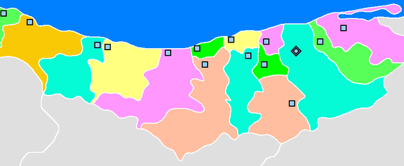
Mazandaran is divided into 15 counties (shahrestan in Persian). All the shahrestans are named after their administrative center, except Savadkooh.
Caspian Sea
Ramsar, Tonekabon, Chaloos, Noshahr, Noor, Mahmood Abad Amol Babolsar Babol Qaemshahr, Jooybar, SavadkoohSary Neka, Behshahr, Semnan, Tehran Gilan, Golestan, Qazvin
History
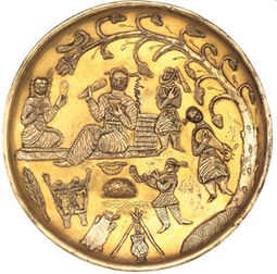
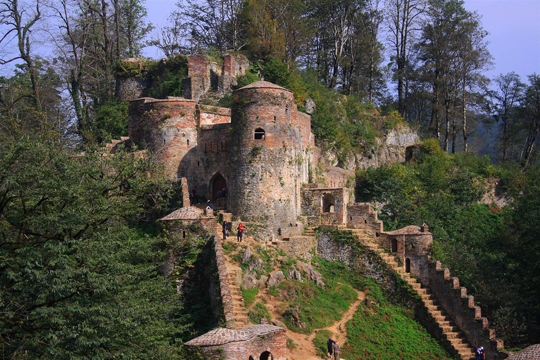
Human habitation in the area dates back at least 75,000 years.[19] Recent excavations in Gohar Tape in Behshahr provide proof that the area has been urbanized for more than 5,000 years, and the area is considered one of the most important historical sites of Iran. It has played an important role in cultural and urban development of the region.Mazandaran is one of the oldest areas Sedentism. Indigenous peoples of the region include the ethnic Mazanderanis, who speak an Iranian language which most closely resembles Gilaki and Sangiseri language, but also has phono-typical similarities to several Caucasian languages, reflecting the history of the region and its peoples. In the early 20th century, Reza Shah connected northern Elbourz to the southern slopes by constructing seven new roads and railways, the provinces of Mazandaran and Gilan became known as Shomal by all Iranians (meaning “the North” in Persian). Mazandaran is a Caspian province in the north of Iran. Located on the southern coast of the Caspian Sea, it is bordered clockwise by Russia (across the sea), Golestan, Semnan, Tehran, Alborz, Qazvin, and Gilan provinces. Sari is the largest city and the capital of Mazandaran province.
Mazandaran Province was made part of the First Region upon the division of the provinces into five regions solely for coordination and development purposes on June 22, 2014.

Geography
Mazandaran is located on the southern coast of the Caspian Sea. It is bordered clockwise by Golestan, Semnan and Tehran provinces. This province also borders Qazvin and Gilan to the west. Mazandaran province is geographically divided into two parts: the coastal plains, and the mountainous areas. The Alborz Mountain Range surrounds the coastal strip and plains of the Caspian Sea.
From the geographical point of view, Mazandaran province is divided into two parts i.e. coastal plain and the mountainous area. The Alborz Mountain Range like a huge wall has surrounded the coastal strip and plains of the Caspian Sea. Due to permanent sea breez and local winds of the southern and eastern coasts of the Caspian Sea, sandy hills are formed, causing the appearance of a low natural barrier between the sea and plain.[citation needed]

|
|
| -18(°C) | |
| Wind | (mph) |
| Pressure | (in) |
| Visibility | (mi) |
| UV Index | - |
| Humidity | (in) |